

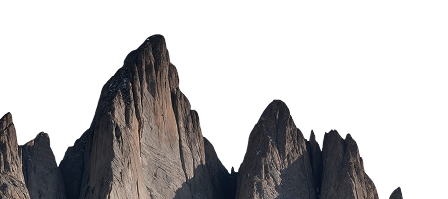
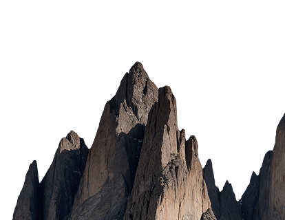
Make the underground Visible
Connected workflows that help mining, tunnelling, and engineering teams keep up with everyday operational decisions.
Growing adoption across mining, tunnelling, and engineering consulting.


It's not a data problem. It's a decision problem.


Plan
Guesswork
Assumptions
Plans rely on assumptions, word of mouth and whiteboards. Trips underground are inefficient.

Capture
fragmented
Scattered
Information is scattered. Photos, scans, and notes live in different places.

Map
misaligned
Inconsistent
Teams don't see the same thing. Communication fragmented across roles and shifts.

Decide
stalled
Debated
Decisions slow down. Teams debate the data instead of acting. Costs increase.

Share
late
Delayed
Reports are delayed. Information reaches stakeholders too late.


Plan
evidence
Real context
Trips underground are planned but remain agile.

Capture
unified
Structured
One connected workflow. Scans, annotations, and reports live in one place.

Map
aligned
Connected
Bring your team underground virtually.

Decide
resolved
Aligned
Faster decisions. Less debate. More action.

Share
real-time
Instant
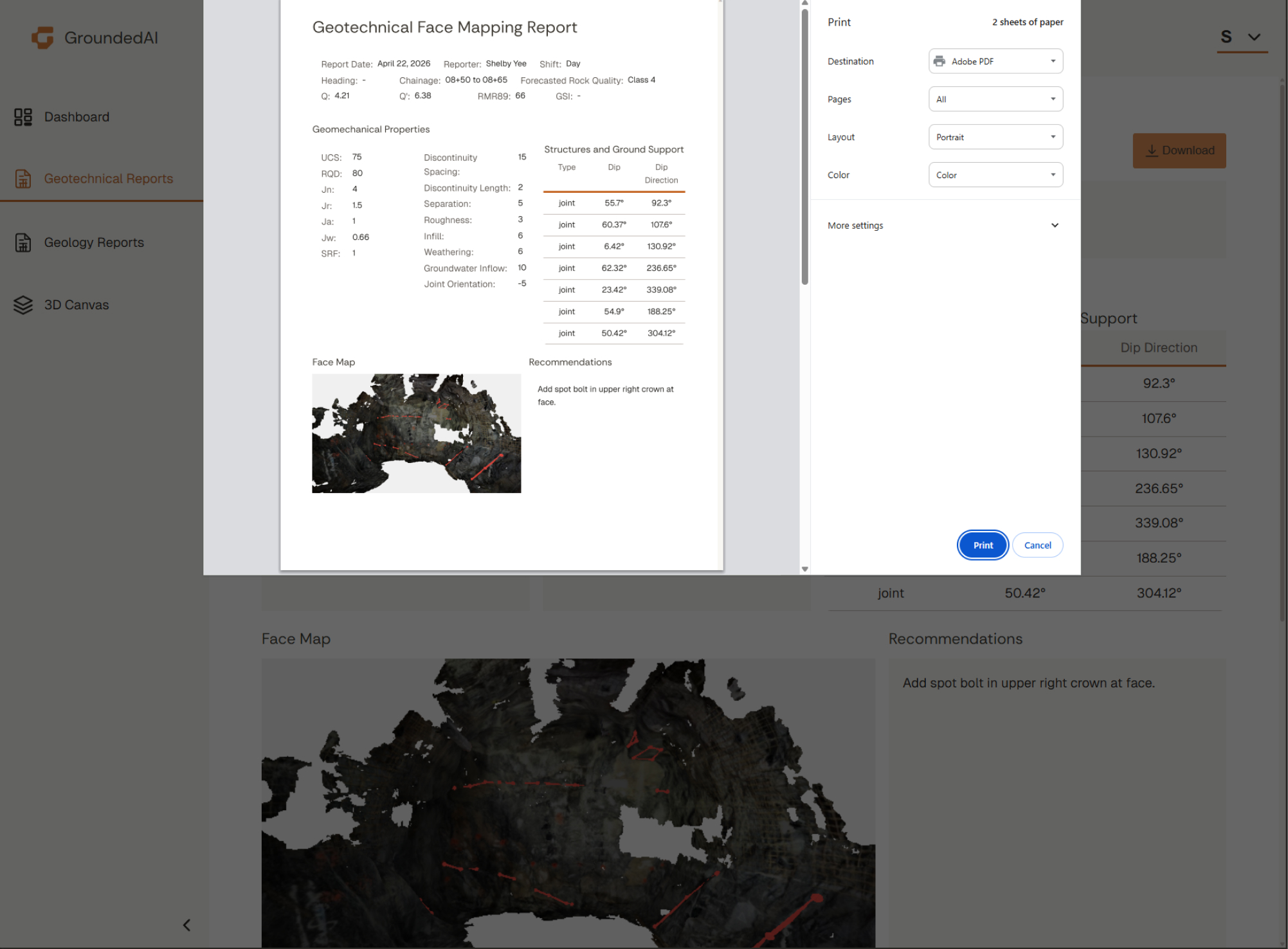
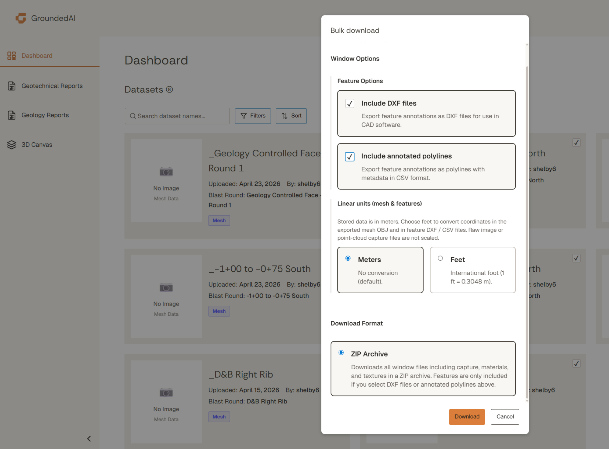
Instant, decisions-ready reporting. Export datasets to Leapfrog, Deswik, and AutoCAD for longer term analysis.
From observation to action
The Grounded platform connects what’s observed underground to what teams need to decide, report, and act on every day. GroundedAI is more than a mapping tool.


Connected workflows

Clarity when it matters

A shared source of truth
One platform. Built for operations teams.
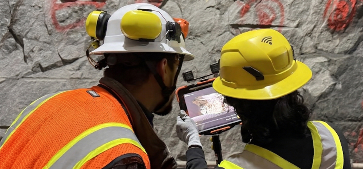
Capture reality in the field
Lithos is the fastest way to capture field observations. Accurate 3D data, photos, and notes.
Designed to work offline, without disrupting an operation’s critical path.
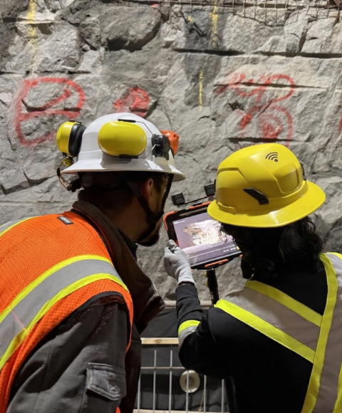
Bring your team underground virtually to make decisions
Strata turns field data into shared views, quick visualizations, mappable data, and repeatable reports that engineers, managers, and owners can trust.
One platform. Built for operations teams.

Workflows that help teams keep up with everyday operations
The Grounded Platform is designed around critical decisions that teams make every single day.
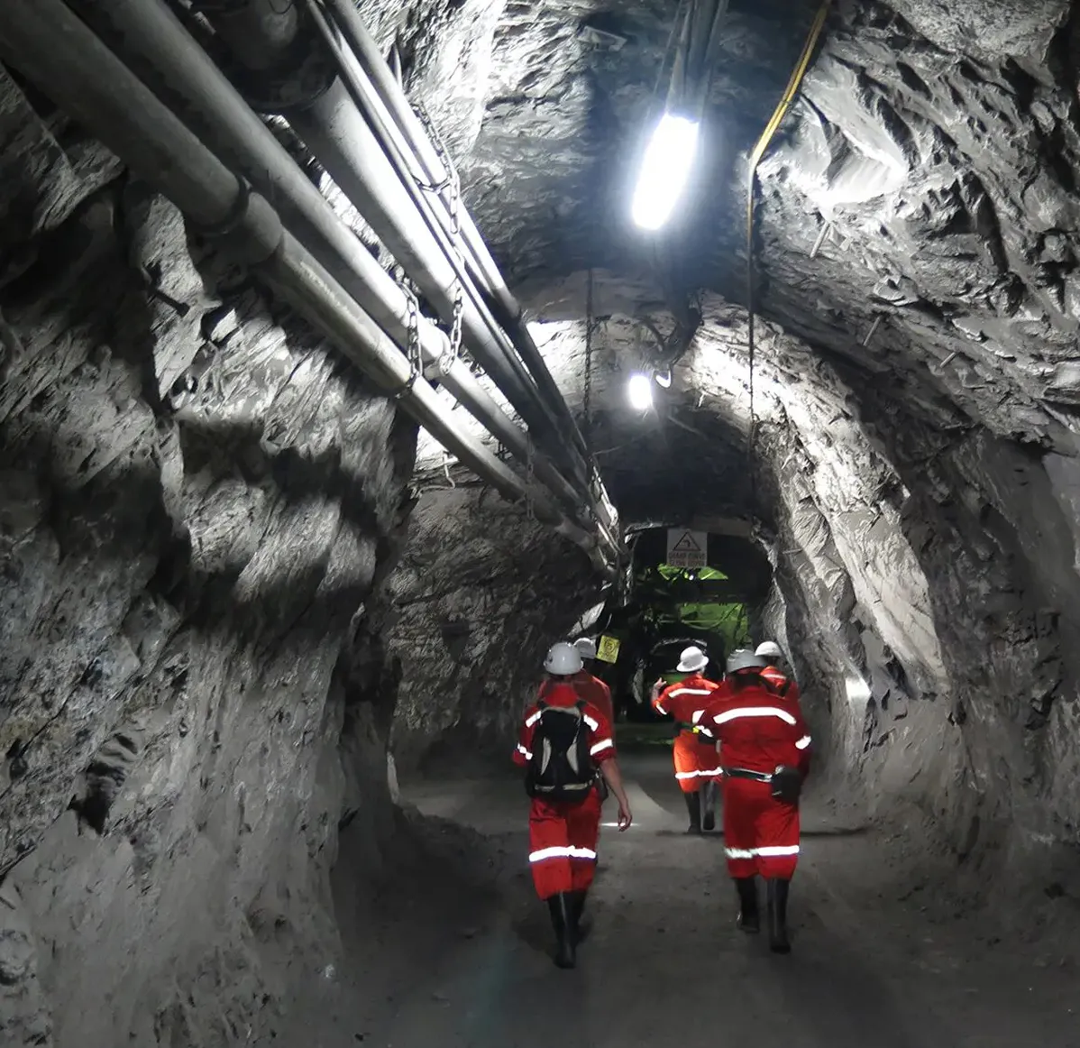
Trusted across underground environments.
See it.
Share it.
Decide.
See it.


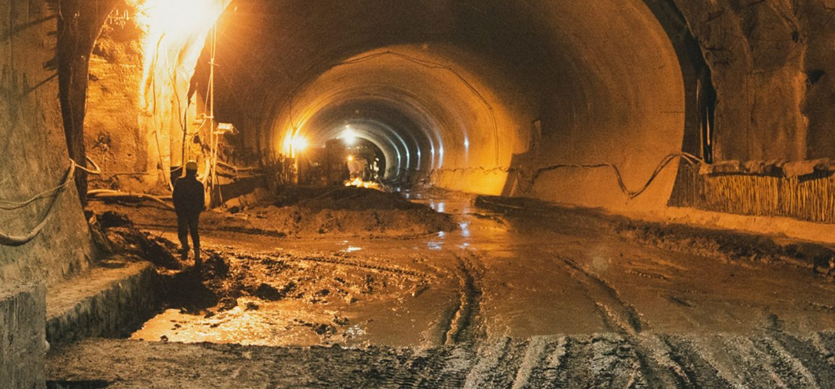
"On a tunnel project, you don't get to go back. If the geological record doesn't keep pace withconstruction, you're documenting from memory — and that's not a record, it's an estimate."


"On a tunnel project, you don't get to go back. If the geological record doesn't keep pace withconstruction, you're documenting from memory — and that's not a record, it's an estimate."
"On a tunnel project, you don't get to go back. If the geological record doesn't keep pace withconstruction, you're documenting from memory — and that's not a record, it's an estimate."
"On a tunnel project, you don't get to go back. If the geological record doesn't keep pace withconstruction, you're documenting from memory — and that's not a record, it's an estimate."
"In our daily meetings it’s been awesome to be able to throw the scan that we took the night before up on the big screen and share it on Teams for people who aren’t there. We can show people exactly what we’re talking about. When we talk about either adding an extra bolt or interrogating an unexpected zone. It’s definitely better than pictures."
"If the site team hits a problem area, they can send me a scan. I can tell them whether I need to come look in person, or whether they're good to proceed."
“This is going to help out younger staff who haven’t done a lot of mapping before. They need guidance, but it’s hard for me to do remotely without seeing it. This platform helps a lot.”
"There is absolutely subjectivity to any mapping, and so to have some sort of concrete documentation that people can look at side-by-side and make a final determination of ground conditions is exactly what we need."
“Our collaboration with GroundedAI reflects a shared dedication to innovation, teamwork, and delivering practical engineering solutions that meet project needs and client expectations.”

See how the Grounded Platform would work on your project
If your team captures geological data today, we can help you turn it into clarity tomorrow.
© 2026 Company Name. All rights reserved.

STAY CONNECTED


© 2026 GroundedAI. All rights reserved.
Vancouver, BC · EN