NEWSLETTER


Every action downstream depends on what was captured. Plan sets up the conventions; Capture creates it. The quality and consistency of capture determines the quality and consistency of everything else.

Paper forms, photos on phones, and handwritten notes. The record gets reconstructed after the fact, rather than captured in context.
Three stages. One products. One connected workflow from underground to decision.
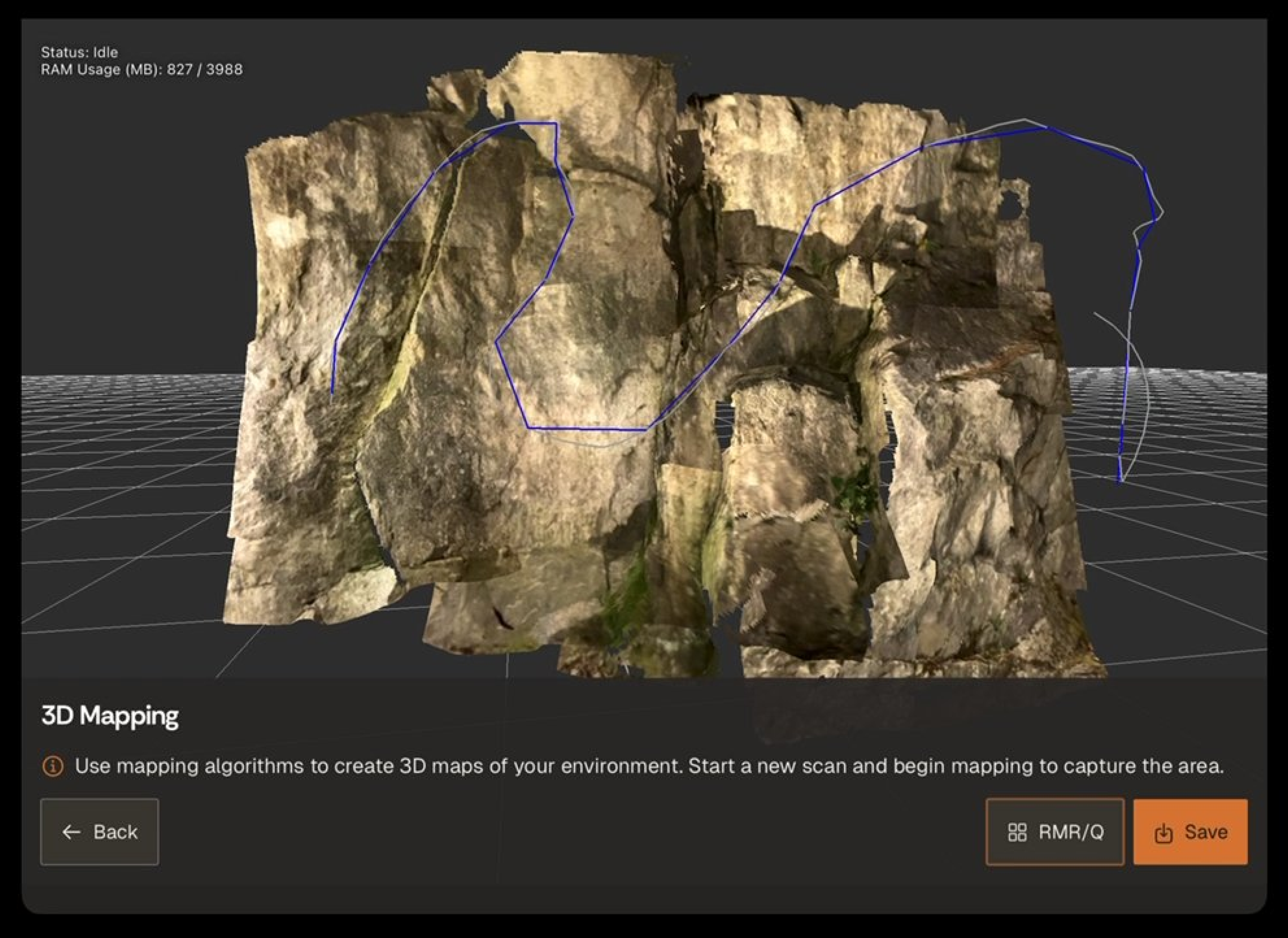
Location-based scanning in less than five minutes. Accuracy of 5-10 mm on sub-$2k iPad hardware setup.


High-resolution images, tagged and linked to spatial location.
Capture notes while underground using a keyboard, handwriting, or voice notes.


Designed for underground, offline environments. Configured to the site-specific requirements. Capture data once. Improve decisions daily.
Time-stamped, 3D scans and HD photographs with observation records carrying their full field context.

Data captured in Lithos flows directly into the Grounded platform, where teams can review conditions, generate reports, and align on decisions.


Walk through a capture workflow on a live underground scenario.

© 2026 GroundedAI. All rights reserved.
Vancouver, BC · EN


