NEWSLETTER


Discontinuity orientations, rock mass classifications, and joint sets are parameters the models rely on. When they're entered manually from paper logs, every data point carries a risk of transcription error, and the engineer running the analysis has no way to review the original source.
Rocscience is for detailed analysis. precise. It deserves detailed inputs.
Discontinuity data is notoriously error-prone with compass measurements, estimates, and manual transcription. Orientation measurements can be difficult to accurately estimate from a distance. Rock mass classifications get compressed or reinterpreted in the handoff from field to office. Engineers limit the number of scenarios they model, not because the software is slow, but because the data preparation is.
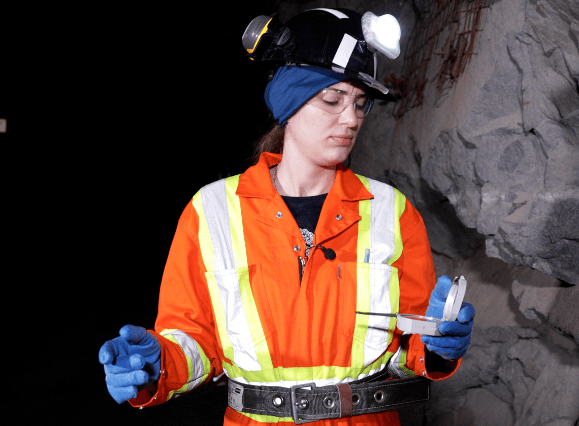
Location-based 3D scanning of underground conditions in less than five minutes. Enter a Q-value, RMR, GSI, or site-specific framework while underground.


Discontinuities mapped on the mesh with point, line, and polygon tools. Orientation derived from mesh geometry and georeferencing. Rock mass classifications added or reviewed from the field. Orientation data organized alongside the mesh for visual reference.
Export open formats for Rocscience Handoff point DXF (geometry) and CSV (attributes) import to Dips and Unedge.

Run stability analyses, kinematic assessments, or support design with input data that traces back to a specific location, round, and mapper.

Underground. Offline-capable. Five-minute capture with 5-10 mm accuracy on sub-$2k iPad hardware. Mapping isn't a report written later, it's a 3D coloured dataset created in place.

Strata is the structured project record where plan meets reality. Boundaries, classifications, and structural data are structured and exported to the formats Deswik expects, preserving textured meshes, mapped annotations and attributes.
DXF geometry for discontinuity surfaces and joint sets, CSV attributes for orientations and classifications, rock mass values (Q, RMR, GSI), persistence, and other rock mass classification attributes.


© 2026 GroundedAI. All rights reserved.
Vancouver, BC · EN


