NEWSLETTER


Leapfrog Works is where tunnel engineers and geotechnical engineering consultants build the ground model that design decisions depend on. Soil and rock units and groundwater conditions define what the infrastructure project will encounter and how it needs to respond.
The model is only as current as the data imported to it. When underground observations arrive days or weeks late, reformatted through manual steps, the ground model is already behind the excavation. Design validation runs against the wrong picture. Risk assessments rely on stale assumptions.
When the handoff from the field to the model is seamless, the model stays up to date with what's encountered.
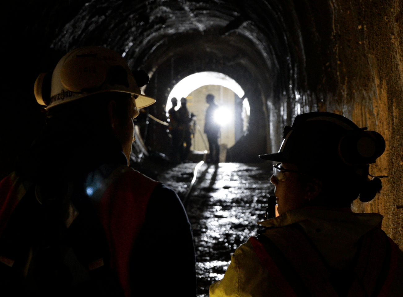

Underground data destined for Leapfrog Works follows the same fragmented path as any other modelling input: photos in folders, notes on paper, meshes processed in one tool and georeferenced in another. Geotechnical data, such as rock mass classifications, discontinuity sets, and ground conditions, get transcribed from field forms into spreadsheets before anyone in Leapfrog Works ever sees it.
For tunnelling projects, this delay has direct consequences. Support design decisions, RES reviews, and baseline (GBR) comparisons all depend on a ground model that reflects what's encountered.
Four stages. One handoff. No manual translation.
Location-based 3D scanning of underground conditions in less than five minutes. Offline-first. Accuracy in the 5-10 mm range.


The dataset syncs to Strata where it's georeferenced, mapped, and organized. Round naming and location hierarchies tie every capture to its project location. The geotechnical record is reviewed, validated, and prepared for export, structured so every observation links back to its location, date, and observer.
Strata exports georeferenced and mapped textured meshes as OBJ with their MTL material files, and 3D annotations as CSV with full attributes. No intermediate tools. No file cleanup.


Import directly into Leapfrog Works. Geotechnical layers, discontinuity data, and ground-condition observations arrive structured and attributed. Build or update the ground model from current underground data, not from last month's field notes.

Lithos captures geotechnical conditions at the point of observation including rock mass classifications, 3D scans, and annotated HD images with time-stamps. The data that imports to Leapfrog Works carries its full field context.

Strata is the structured project record where plan meets reality. For tunnelling projects, Strata organizes data captured underground by chainage, and exports to Leapfrog Works in compatible formats, preserving textured meshes, mapped annotations, and attributes.
Georeferenced textured meshes (OBJ + MTL), 3D annotations with full attributes (CSV), rock mass classification data, discontinuity geometry, and ground-condition observations.


Walk through the full handoff with a tunnelling dataset. We'll show you what imports, what's preserved, and how fast the ground model catches up to the excavation.

© 2026 GroundedAI. All rights reserved.
Vancouver, BC · EN


