NEWSLETTER

%20-%20Banner.png)

Geotechnical mapping validates stope design and spacing, safety protocols, and ground support decisions. When the geotechnical record is lacking, downstream decisions are forced to rely on assumptions.
The quality of the mapping improves downstream decision making.


Geotechnical mapping is typically done with pen, paper, and photos from a cell phone. Discontinuity measurements are eye-balled at a distance. The engineer running a stability analysis is forced to work with an incomplete dataset without visual aids or proof.
Five stages. Two products. One connected workflow from underground to decision.
Determine active headings or areas and star them in Lithos for quick access. Determine which classification framework to use (Q, RMR, GSI) across which intervals. Configure a Lithos profile accordingly.


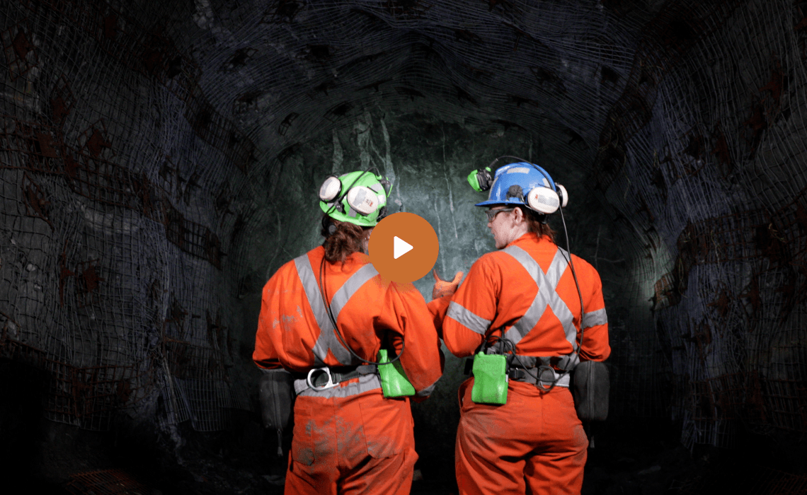
Capture 3D data underground with an iPad. Ground-condition observations documented for each scan or image taken.
Geotechnical records organized, validated, and made searchable. Map and classify structures and rock mass classifications directly on the 3D mesh.
%20-%20Stage.jpg)

Generate geotechnical reports and incorporate wedge analysis screenshots from third-party software. Create records for RES review meetings and spot bolting. Support-design decisions made on current underground data.
Export in open formats (DXF, CSV) for Rocscience, Leapfrog Geo, Deswik, Leapfrog Works, Itasca, or any downstream consumer. Or as structured reports for engineering review or RES meeting records.


Capture 3D datasets underground and determine the rock mass classification (Q, RMR, GSI) in context.

The mapping platform and geotechnical record. Strata is where observations are mapped and decisions are made. It holds the mapping record, organizes it, makes it searchable, generates sharable reports, and exports it to downstream software.
Structured geotechnical mapping records with discontinuity data (orientation, persistence, spacing, etc.), rock mass classification values, and ground-condition observations. Datasets ready for stability analysis (Rocscience), numerical modelling (Itasca), structural modelling (Leapfrog), or engineering review. A persistent geotechnical record feeding downstream ground-control decisions.

Data captured in Lithos flows directly into the Grounded platform, where teams can review conditions, generate reports, and align on decisions.


Walk through a full mapping workflow with your site in mind.

© 2026 GroundedAI. All rights reserved.
Vancouver, BC · EN


