NEWSLETTER


The geological model is only as current as the last dataset that made it in. Every week, the field record advances ahead of the model. Decisions are being made against an outdated picture.
The bottleneck isn’t the actual modelling in Leapfrog Geo. Interpreting the continuity, structural domain, and lithological boundaries is the rewarding part! The real pain points include all of the reformatting, file-shuffling, and manual attribute-matching needed to bridge the gap between underground capture and modelling software.
When that handoff easy, the model can then keep pace with production. When it’s a struggle, your targets and data begin to drift a part.
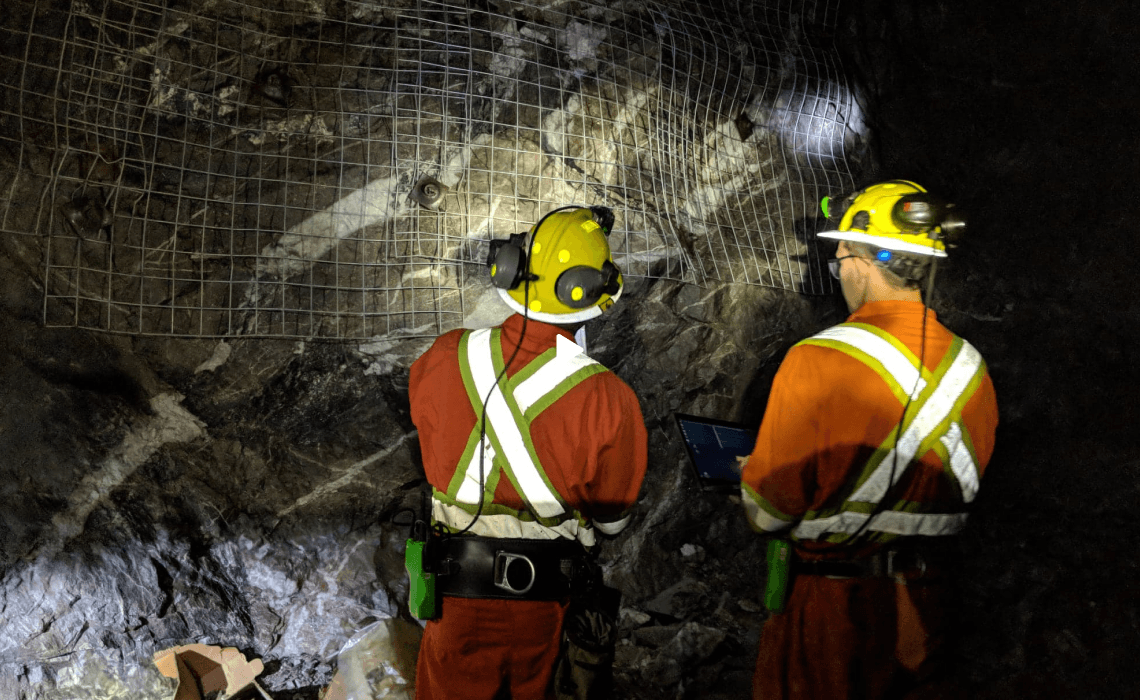

Underground data travels a long, fragmented pathbefore it ever reaches Leapfrog Geo. Photos are downloaded from a camera. Annotations are sketched on paper, and sample data is manually typed into spreadsheets. Meshes are processed in one tool and georeferenced in another. Coordinates are re-entered. By the time the dataset is ready for import, the geologist who mapped the heading has moved on to the next round.
The translation step introduces its own failure modes: meshes that lose their textures, files that lose their geolocation, annotation attributes that don't carry through. Teams patch these in Leapfrog after the fact, which is slower and less reliable than capturing them correctly in the first place.
Four stages. One handoff. No manual translation.
Location-based 3D scanning of underground conditions in less than five minutes. HD photo annotation. Offline-first. Accuracy in the 5-10 mm range.


The dataset syncs to Strata where it's georeferenced, mapped, and organized. Round naming and location hierarchies tie every capture to its project location. From here, the geological record is reviewed, validated, and prepared for export, structured so every observation links back to the heading, date, and geologist who captured it.
Strata exports georeferenced and mapped textured meshes as OBJ with their MTL material files, and 3D annotations as CSV with full attributes. No intermediate tools. No file cleanup.


Import directly into Leapfrog Geo. Meshes arrive with textures attached, coordinates intact, and annotation metadata preserved. Start interpreting ore body continuity and structural domains immediately rather than reformatting files.

Lithos is built for underground mapping focused on location-based 3D scanning, HD image annotation, and offline-capable where it matters most. Every record is time-stamped at the point of observation, so the data that eventually reaches Leapfrog Geo carries its full context with it.

Strata is the structured project record where production meets reality. The Strata export function produces the formats Leapfrog Geo accepts, preserving textured meshes, geolocation, mapped annotations, and attributes.
Georeferenced textured meshes (OBJ + MTL), 3D annotations with full attributes (CSV), structural orientation data, and lithological boundary datasets from capture to model. Meshes retain their textures. Coordinates stay intact. Annotation metadata comes through reliably.


Walk through the full handoff with your own dataset. We'll show you what imports, what's preserved, and how fast the model can sync to what's been mapped.

© 2026 GroundedAI. All rights reserved.
Vancouver, BC · EN


