NEWSLETTER


The difference between ore and waste can be a million dollar decision. Misclassifying a round either shrinks your reserve, or dilutes the mill. Geologists make these calls under extreme time pressure, balancing the long-term model against what is actually visible at the face. When the model lags behind what has been observed in reality, the risk of misclassification and the difficulty of reconciliation skyrockets.

Traditional face mapping is stuck in a cycle of delay. Face maps often wait days and even weeks for transcription, meaning the geologist making tomorrow’s ore call is already working from an outdated picture. Month-end reconciliation reveals the errors, but only after the round has already been mined out.
Three stages. Two products. One connected workflow from face to decision.
Every round's face mapped and classified in context within minutes. Keep the record connected.


Bridge the gap between the heading and the office. Observations flow into the geological record as fast as the same day, keeping datasets accessible and current across teams.
The ore-boundary call is made against current data, not a month-old picture. With GroundedAI, month-end reconciliation becomes a simple validation step rather than a surprise.


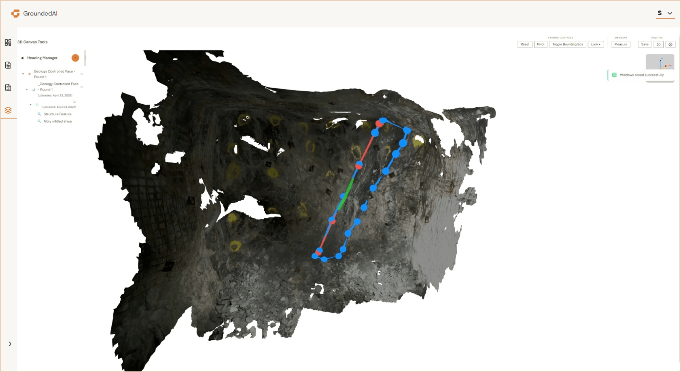
The face mapping that generates data to make the ore vs waste decision happens on Lithos: Location-based 3D scans, HD photo annotation, and note the conditions of the face while underground to determine decisions daily.
Strata holds the record and formats the datasets for further mapping and reconciliation.
Ore-boundary decisions made with 3D information of the current face. Reduced misclassification at the waste pile and the mill. A geological record that stays close to what's being mined, so month-end reconciliation confirms rather than corrects.

Data captured in Lithos flows directly into the Grounded platform, where teams can review conditions, generate reports, and align on decisions.


Walk through a live ore-control scenario from Lithos to Strata to grade-control decision.

© 2026 GroundedAI. All rights reserved.
Vancouver, BC · EN


